Article written by Kathryn O’Daniel
West Texas Rangelands Intern and Senior, Texas A&M University
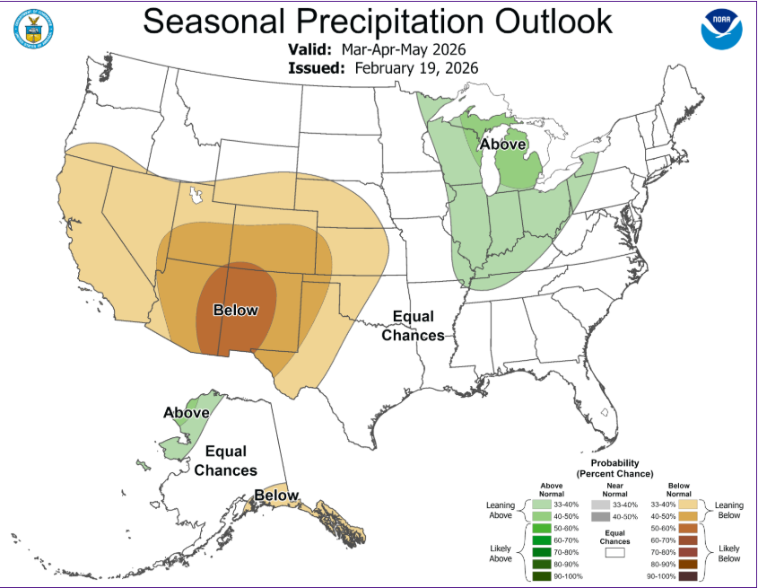
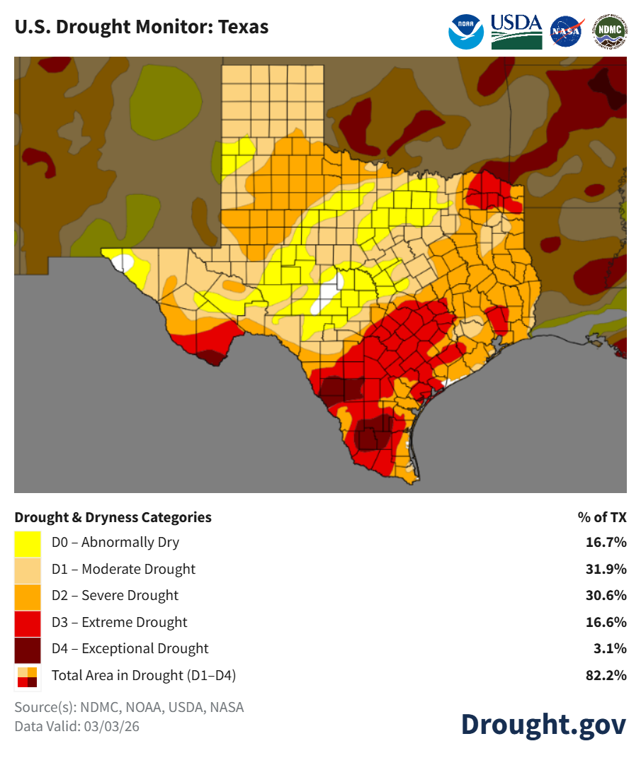
Wildfires can start easily and spread rapidly under the correct conditions. High winds, dry conditions, and high fuel amounts can cause wildfires to spread across long distances, causing immense damage. As a landowner, it is imperative that your rangeland is protected from possible cases of wildfire ignition and spread.
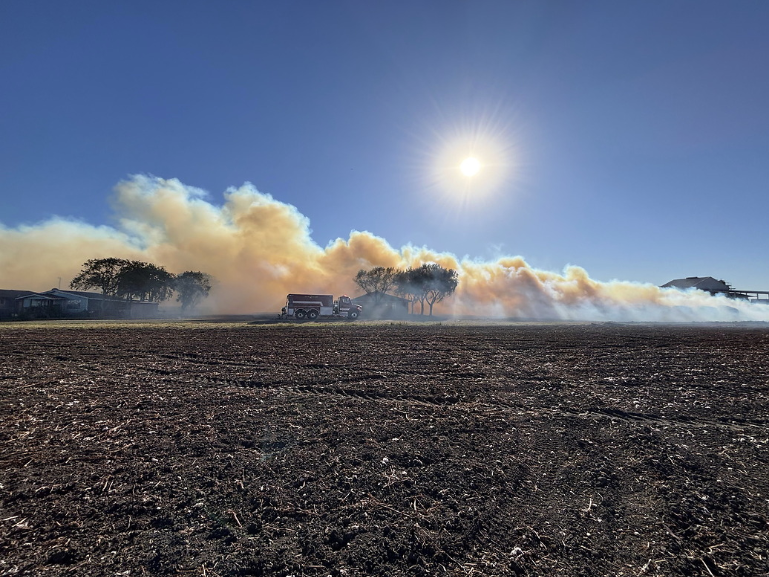
Historically, fires were common; however, after European settlement, fires were greatly suppressed, causing high fuel loads. These high fuel loads cause wildfires to be a real threat to landowners. It is important to learn how to protect against wildfires, one of which is structural protection. Consider the materials for your buildings to be the first defense in your structural protection. Stay away from any highly flammable wood because it often becomes extremely dry, causing rapid ignition from embers. Instead, consider asphalt shingles or a metal roof and steel siding. Additionally, ensure there are no accumulations of fuel around the buildings to reduce the chance of material igniting. Consider the distance of trees, shrubs, grass, firewood, and propane tanks from the building, as proximity can be an issue.
The ‘home ignition zone’ includes the structure and the 200-foot radius around it. This area is sectioned into 3 smaller portions. The smallest zone, closest to the house, also known as zone 1, includes the 30 feet outside of the building. This area should be mowed regularly, free of dead vegetation, and contain fire-resistant material for any outdoor furniture. Additionally, the closest 5 feet to the house should be a “fire-free area”, containing nonflammable, high-moisture plants.
Zone 2 is considered the area 30-100 feet from the house. This area should have spaced-out trees, with 20 feet between individual trees or 30 feet between clusters of trees. Driveways and walkways are used as fuel breaks, and mowing should be used to reduce fuel loads.
Zone 3 includes 100 to 200 feet away from the house. In this area, less spacing is required between trees. Remove any woody debris piles and ensure tree canopies are not touching.
Lastly, infrastructure fire breaks can make or break one’s wildfire protection plan. Using gravel or caliche as a fuel break can be extremely helpful, as well as access roads and 2-track roads, which all have the potential to stop a ground-driven fire. Additionally, these firebreaks can be used to stop a wildfire by providing an area for a prescribed backfire to be lit. Backfires remove fuel loads, which can stop the wildlife when it hits the black due to the lack of fuel.
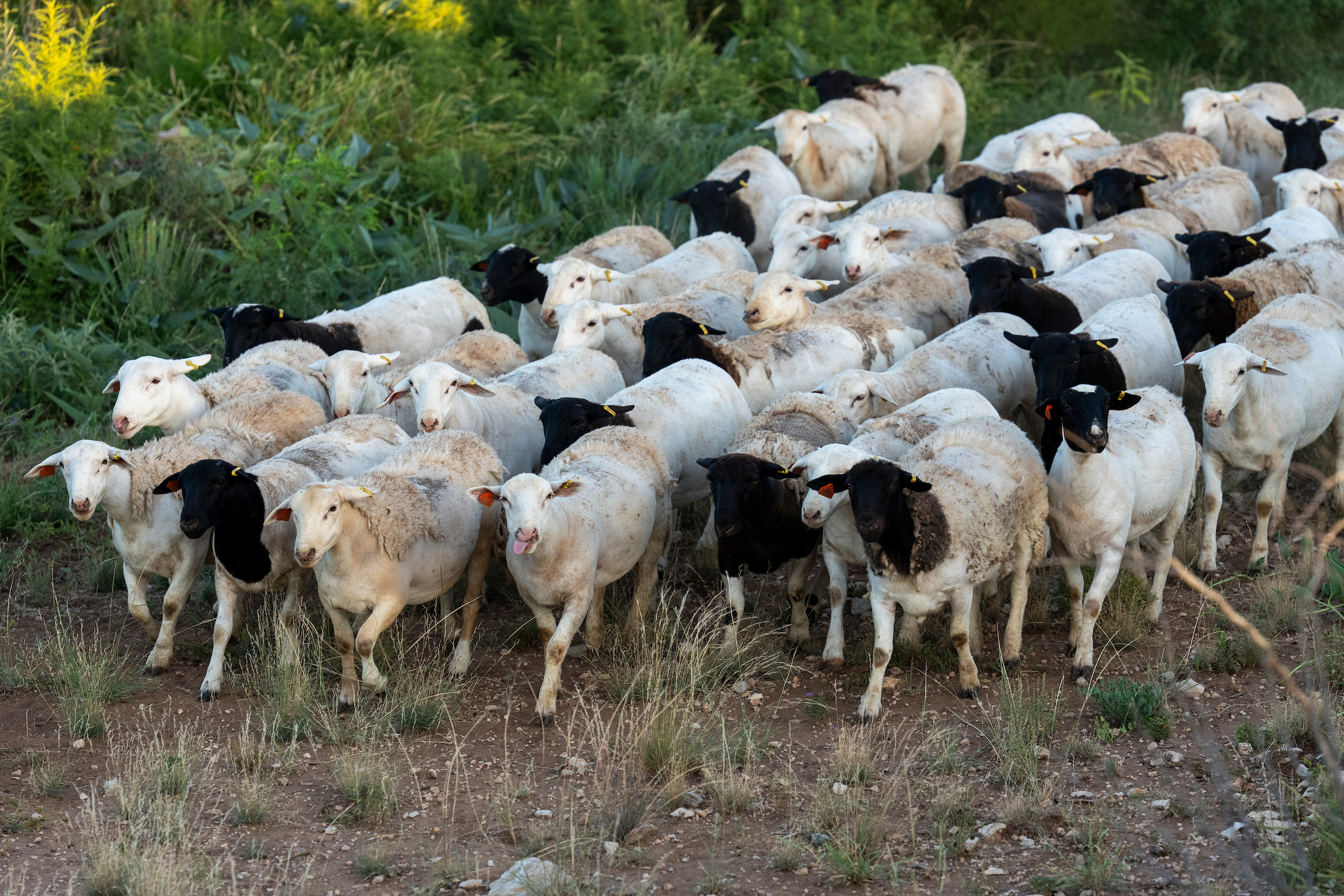
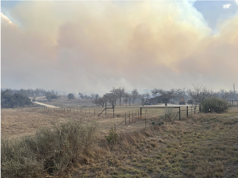 Landowners can also employ heavy grazing during the dormant season around structures to minimize fuel loads. Alternating between grazing and preemptively burning each season keeps the rangeland productivity high compared to solely grazing. In the case of a wildfire, cattle are often capable of finding a safe area on their own. Make quick openings for livestock by cutting fences if needed, and do not attempt to drive livestock to safety when a wildfire is coming. Be sure not to put yourself in harm’s way.
Wildfires are a persistent threat to rangeland owners, especially in areas with high fuel loads and dry conditions. By understanding the factors that contribute to wildfire risk and implementing strategic structural and land management practices, you can significantly reduce the potential danger to your property and livestock. Proactive prevention and preparedness are essential; safeguarding your land and structures not only protects your own assets but also contributes to the resilience of your entire community. By taking these steps, landowners can be better equipped to withstand, manage, and mitigate the challenges presented by wildfires.