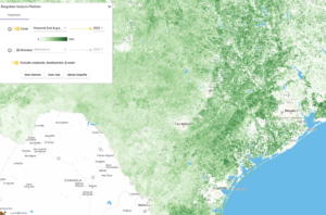
Rangeland Analysis Platform, also known as RAP, have you heard of it? It is a platform that was created with a partnership between the University of Montana (UM), the United States Department of Agriculture (USDA), and the U.S. Department of Interior (DOI).
This tool was developed to provide access to data that can help landowners when it comes to land management planning and decision making. The RAP uses a combination of satellite imagery, on the ground field data, and cloud-based computing similar to google earth to track and quantify vegetation changes. This platform also houses data tracking vegetation changes dating back to 1984!
While the information that RAP provides is valuable, this platform is intended to be used along with local knowledge and site-specific data to help make the best-informed management decisions.
Interested in a deeper dive into the Rangeland Analysis Platform? Want to learn more about the associated stocking rate and forage production technology and tools? Curious on how to prevent grassland loss?
Then you do not want to miss the RAP Virtual Workshop on June 13th! The workshop will take place from 8:30 am to 12:30pm. Be sure to register today! Contact Erika Sullivan for all your registration questions @ erikans2010@hotmail.com.
