In November, a settlement was reached in an ongoing dispute between the federal Bureau of Land Management (“BLM”) and Texas landowners who own land along the Red River, which separates Texas and Oklahoma. Under the settlement, the parties agree on how the southern boundary of the Red River is to be determined going forward–based on the gradient boundary line, but the current gradient boundary was not specifically identified.
Factual Background
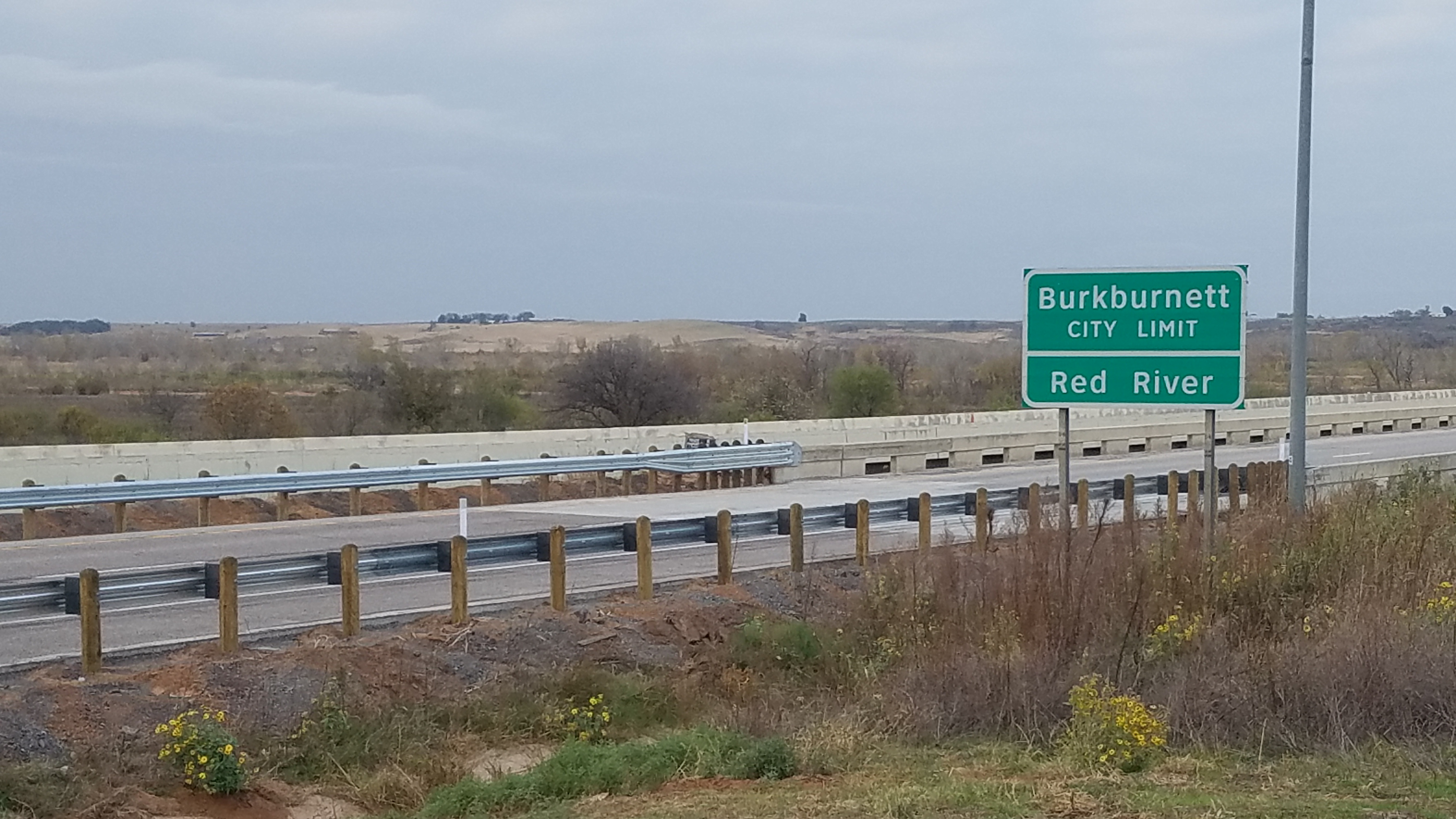
This case involves a heated dispute between the BLM and Texas landowners with property along the Red River. In the early 2000’s, the BLM began re-surveying the land adjacent to the river at the request of the Bureau of Indian Affairs. In 2009, the BLM published updated spot surveys in the Federal Register showing land from the identified medial line of the river to the identified southern boundary to be federally owned. The BLM took the original position that because the boundary of the river was meant to be “relatively permanent,” that the boundary had remained largely the same as it was in the 1920’s. Because the river had shifted over the past century, there were portions of now-dry land on the Texas side of the river that still belonged to the federal government, rather than the citizens who claimed ownership. The landowners had purchased, utilized, and paid property taxes on the land in question for decades. In some cases, the 2009 survey stakes were more than a mile from the current bank of the river.
The lawsuit was filed in 2015 and involved seven families and three counties owning land along the river and involved over 90,000 acres. [Read Complaint here.] The plaintiffs claimed that the BLM committed an “unconstitutional and arbitrary seizure” of their private property. Specifically, they sought relief under the federal Quiet Title Act, the Declaratory Judgment Act, and alleged violations of the Fourth Amendment and Due Process Clauses of the US Constitution.
Several groups petitioned to join in the lawsuit in support of the landowners, including the State of Texas and the Texas General Land Office, who manages land in the disputed area for the benefit of the Permanent School Fund.
In March 2007, the BLM suspended the 2009 surveys, citing that it “had obtained new information that “brings into question whether the doctrines of erosion, accretion, and avulsion were appropriately considered.”
The U.S. House of Representatives passed H.R. 428, which directs the BLM to commission a survey to identify the actual and current gradient boundary along the portion of the river at issue. The bill currently remains pending before the U.S. Senate.
1923 Oklahoma v. Texas Decision
The resolution of this case turns on a 1923 Supreme Court decision in a lawsuit between Oklahoma and Texas. [Read full opinion here.]
In that case, Oklahoma sued Texas claiming that Oklahoma owned the entire Red River bed. The United States intervened in the litigation, claiming it was the federal government, not Oklahoma, who owned the riverbed. If the Red River was navigable in Oklahoma, then the title would have passed to the state when it was admitted to the union. However, the Court found that no portion of the Red River in Oklahoma was navigable, meaning that the northern portion of the riverbed was owned by Oklahoma, but the portion from the median to the southern bank of the Red River was owned by the United States.
Additionally, the Court established that the Texas boundary is at the south cut bank, or southern gradient boundary of the Red River. “Bank” was defined as “the water-washed and relatively permanent elevation or acclivity at the outer line of the river bed which separates the bed from the adjacent upland, whether valley or hill, and serves to confine the waters within the bed and to preserve the course of the river.” Further, the Court noted that this included “all of the area which is kept practically bare of vegetation by the wash of the waters of the river from year to year in their onward course, although parts of it are left dry for months at a time, and we exclude the lateral valleys, which have the characteristics of relatively fast land and usually are covered by upland grasses and vegetation, although temporarily overflowed in exceptional instances when the river is at flood.”
Thus, Texas (or its residents) own the property up to the gradient boundary along the southern bank of the river, while the federal government owns the land between the medial line of the river and the southern gradient boundary.
1999 Red River Boundary Compact
Issues of jurisdiction again arose due to the highly transitory nature of the Red River. In 2000, Texas and Oklahoma signed and Congress ratified the Red River Boundary Compact, which established the territorial boundary between Texas and Oklahoma as being the vegetation line along the south cut bank of the Red River. Texas was given sovereignty over all lands south of the vegetation line. The parties agreed that the boundary line would move with the “visually identifiable continuous line of vegetation” adjacent to the riverbed. The Compact did not address any changes of ownership of the land at issue–merely how state boundaries (and therefore state authority) would be determined.
Settlement
Recently, the parties entered into a settlement agreement, which was approved by the court. [Read settlement here and Order of approval here.
The settlement contained the following key provisions:
- The parties agreed that the northern boundary of private property along the Red River in Wilbarger, Wichita, and Clay counties is governed by the 1923 decision in Oklahoma v. Texas based on the gradient boundary methodology.
- The parties agreed that the geographic location of this boundary may change over time, for instance, based on principles of erosion or accretion. Where the boundary bank changes, the boundary–public or private–follows the change.
- The parties agreed “that the south bank of the Red River is the water-washed and relatively permanent elevation or acclivity at the outer line of the river bed…”
- As noted above, the BLM has suspended the surveys conducted at the request of the Bureau of Indian Affairs based on the belief that the “survey methodology was in error” because the surveyor did not account for erosion, accretion, and avulsion. Per the Settlement Agreement, the BLM will cancel those field notes and plats related to these surveys.
- BLM will disclaim the June 2014 map that represents the BLM’s boundary determination at issue.
Take Aways
This case was heatedly debated and closely watched across the country. Interestingly, although the case has settled the current issues for the parties involved related to the 2009 surveys, there are several questions the Settlement Agreement does not answer. It does not, for example, actually determine any boundaries to the ownership of land along the Red River. It does not identify the current location of the gradient boundary line. It does not state who would have the burden of proving the location of the gradient boundary line–landowners or the BLM–should additional legal disputes arise. Instead, it only determines the legal standards that will be used to determine the location of the boundaries. Thus, the BLM could initiate new surveys of ownership, so long as those surveys follow the procedures and standards set forth in the Settlement Agreement. Thus, in the event that the BLM was to conduct another survey, if landowners disagreed with the methodology or results, another lawsuit could certainly arise.