*Updated: This article was updated after the 2017 Legislative Session to include confined animal feeding operations to the definition of “critical infrastructure facilities” based upon HB 1643. See blog post here.*
Today we continue with Part II of our Drones and Privacy series by reviewing the Texas Use of Unmanned Aircraft statute. If you missed Part I, click here.
In the absence of federal regulations regarding drones and privacy, states have been left to draft their own legislation. Thus far, only about 13 states have drone privacy laws on the books. Texas passed its own law, the Texas Use of Unmanned Aircraft statute (Texas Government Code 423), in 2013. [View full statute here.] According to the bill’s sponsor, Lance Gooden, the bill was passed “to address concerns that ordinary Texans could use drones to spy on private property, as well as in response to fears that animal rights groups or environmentalists could keep tabs on livestock ranches or oil pipelines.”
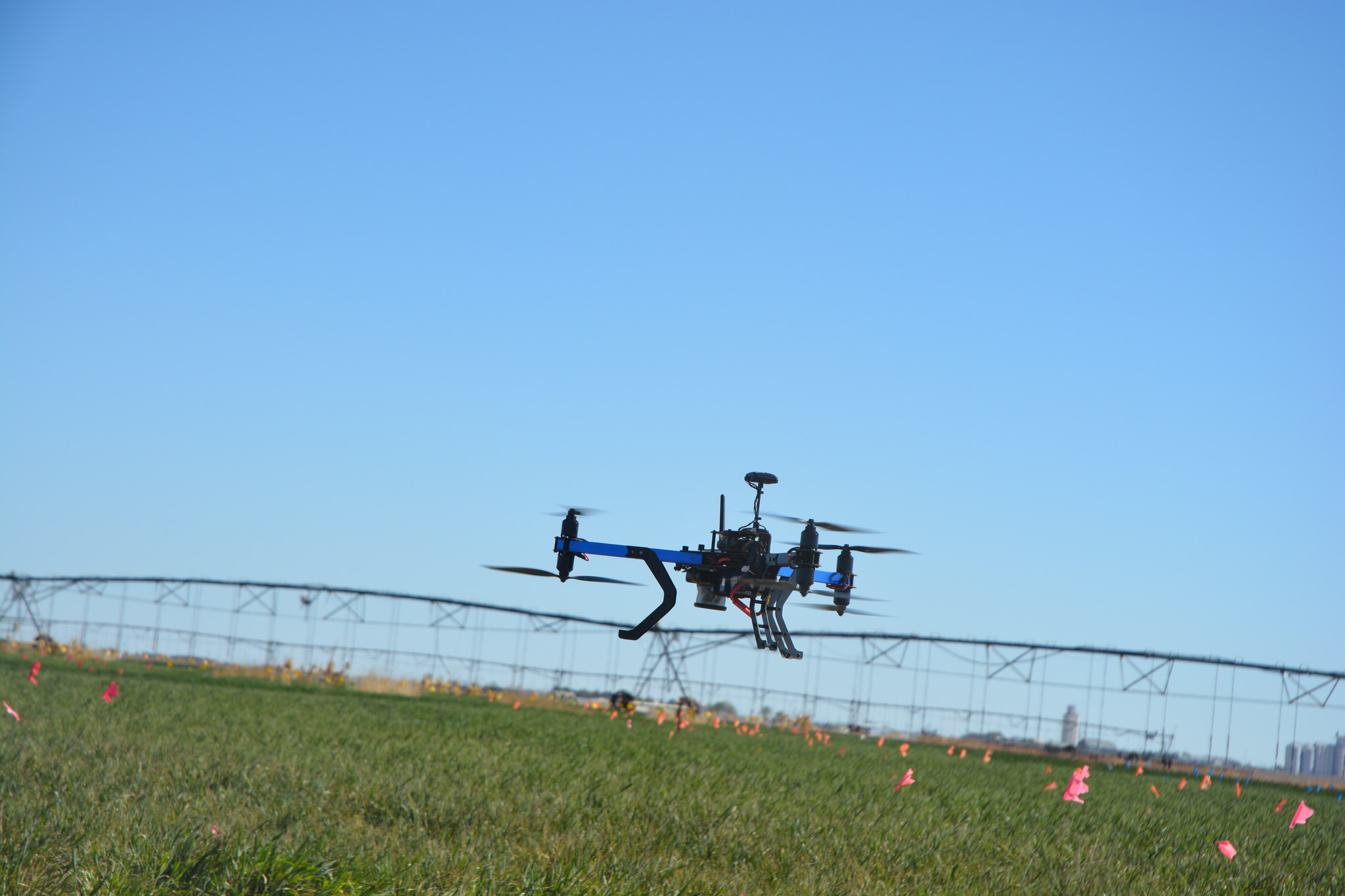
Texas A&M Agrilife photo by Kay Ledbetter
Importantly, these rules apply only the use of drones “to capture an image.” The statute does not appear to apply to drones being flown that are not capturing images as defined by the statute as “capturing of sound waves, thermal, infrared, ultraviolet, visible light, or other electromagnetic waves, odor, or other conditions existing on or about real property in this state or an individual on that real property.”
Lawful Drone Uses
The Texas statute lists a litany of uses for which the use of a drone to capture an image is permitted in Texas:
(1) professional or scholarly research by higher education institutions;
(2) in areas designated as test sites by the FAA;
(3) as part of military operations;
(4) images captured by satellites for mapping;
(5) images captured by an electric or natural gas utility for operations, inspections, maintenance of facilities, for assessing vegetation growth on easements, and routing and siting for the purpose of providing service;
(6) with consent of the person who owns or occupies the property;
(7) pursuant to a valid search or arrest warrant;
(8) if the image is captured by law enforcement or someone acting on behalf of law enforcement and (a) is in immediate pursuit of a suspect and the officers have reasonable suspicion to suspect he has committed a felony offense; (b) for the purpose of documenting a crime scene if a felony has been committed; (c) for the purpose of investigating the scene of a human fatality, accident causing death or serious bodily injury, or any accident on a state or federal highway; (d) in connection with the search for a missing person, (e) to conduct a high-risk tactical operation that poses a threat to human life, (f) on private property generally open to the public where the owner consents to law enforcement public safety responsibilities;
(9) images captured by state or local law enforcement authorities or someone acting on their behalf for the purpose of (a) surveying the scene of a catastrophe or other damage to determine if a state of emergency should be declared, (b) preserving public safety, protecting property, or surveying damage or contamination during a state of emergency, or (c) conducting routine air quality sampling;
(10) at the scene of a hazardous material spill;
(11) fire suppression;
(12) rescuing a person imminent danger;
(13) images captured by a licensed Texas real estate broker for marketing, sale, or financing of real property so long as no individual in the images is identifiable;
(14) of real property or a person on real property within 25 miles of a border;
(15) from a height no more than 8′ above ground level in a public place, if the image was captured without using any means to amplify the image;
(16) of public real property or persons thereon;
(17) images captured by the owner of a oil, gas, water or other pipeline for the purpose of inspection, maintenance, or repair;
(18) in connection with oil pipeline safety and rig protection;
(19) in connection with pot authority surveillance and security;
(20) captured by a registered professional land surveyor in the practice of surveying so long as no individual is identifiable;
(21) captured by a professional engineer in the practice of engineering so long as no individual is identifiable.
Unlawful Drone Uses
The statute also provides certain actions to be unlawful.
Drones may not be used to capture an image of an individual of private real property with the intent to conduct surveillance on the individual or property captured in the image. In this provision, “intent” means it is a person’s “conscious objective o desire to engage in the conduct or cause the result.” Further, a person may not capture an image in violation of this provision, and then possesses, discloses, displays, or distributes or otherwise uses the image. Violations of these provisions result in convictions of a Class C misdemeanor. In addition, the owner or tenant of real property may bring suit against the person who captured the image and may seek an injunction, recover a civil penalty of $5,000 for all images captured in a single episode or $10,000 for disclosure, display or other use of an illegally captured image, actual damages if the person discloses or displays the image with malice, and reasonable attorney’s fees. Further, Images captured illegally may not be used as evidence in any legal proceedings and is not subject to disclosure under discovery, subpoena or other legal process.
It is a defense to liability if the person destroys an image he or she captured or came into possession of as soon as the person knows the image was captured in violation of the law and without disclosing, displaying or distributing the image to a third party.
Additionally, particular rules apply to “critical infrastructure facilities” which include petroleum refineries, electrical power generating facilities, chemical facilities, water intake structures, water treatment plants, waste water treatment plants, natural gas compressor stations, railroad switching yards, trucking terminals, steel making facilities, transmission facilities, certain dams, above ground pipelines, and confined animal feeding operations (CAFOs) etc. A CAFO is defined as, “means a concentrated, confined livestock or poultry facility that is operated for meat, milk, or egg production or for growing, stabling, or housing livestock or poultry in pens or houses, in which livestock or poultry are fed at the place of confinement and crop or forage growth or feed is not produced in the confinement area.”
A person may not knowingly or intentionally fly over one of these facilities lower than 400′, may not make contact with a facility, or come within a distance close enough to interfere with operations or cause a disturbance to the facility. Violation of this section is a Class B misdemeanor and repeat violations are a Class A misdemeanor.
Take Away Points
- Landowners need to be aware that there are a number of lawful uses of drones under Texas law and that not all drone flights over their property are illegal.
- If a drone flight is done for an illegal purpose, landowners should be aware of the availability of a civil suit under this statute.
- Drone operators should be aware of these statutory provisions and understand where and for what purpose drones may be flown.