The Dickinson Bayou watershed, a natural basin of land, collects water and drains it into tributary streams, then into Dickinson Bayou, the main stream of the watershed. It is located within the San Jacinto-Brazos Coastal Basin, to the southeast of Houston and west of Galveston Bay. The Dickinson Bayou watershed covers a total of approximately 63,830 acres or 99.7 square miles and is elongated in shape, with a length of 22 miles from west to east. The maximum width of the watershed is approximately 7 miles. Water falling with this area eventually makes its way into Dickinson Bayou.
The bayou begins near the town of Alvin in Brazoria County as an intermittent stream and flows easterly through flat to rolling prairies in Galveston County approximately 24 miles. The water collected by the bayou flows into Dickinson Bay, a secondary bay of Galveston Bay, Cat’s Point, April Fool Point, and Shell Island bound the roughly circular bay just over a mile across.
About 55% of the watershed is within the 100-year flood plain (a flood plain based on a 1% chance of flooding in any given year). Adjoining watersheds include Clear Creek to the north, Mustang Bayou, Halls Bayou, Highland Bayou, and Moses Bayou to the south. Two major irrigation canals, the Gulf Coast Water Authority’s American Canal and Galveston System cross the watershed.
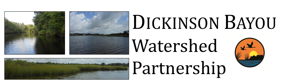
Dickinson Bayou Watershed Brochure produced by Galveston County Parks Department, Houston-Galveston Area Council, & Galveston Bay Estuary Program