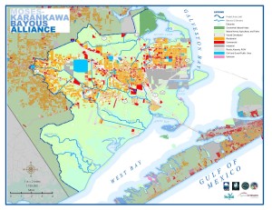
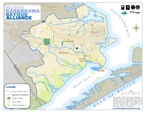
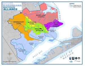
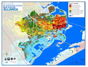
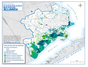
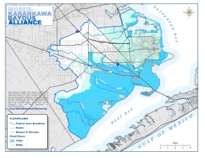
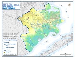
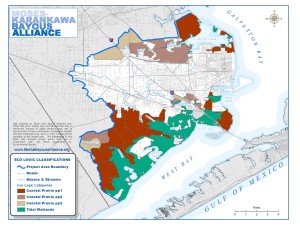
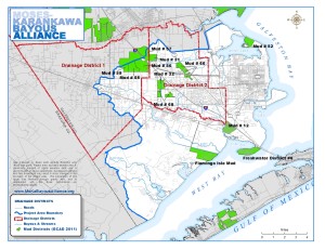
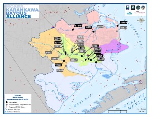
Project Maps
Click on images to access pdf of map.
Project Area
Subwatersheds
NOAA Land Use/Land Cover
Water-related Industrial Permitted Sites
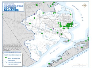
Permitted On Site Sewage Facilities

USFWS National Wetland Inventory
Floodplain
Elevation
Eco Logic Classifications
Drainage Districts
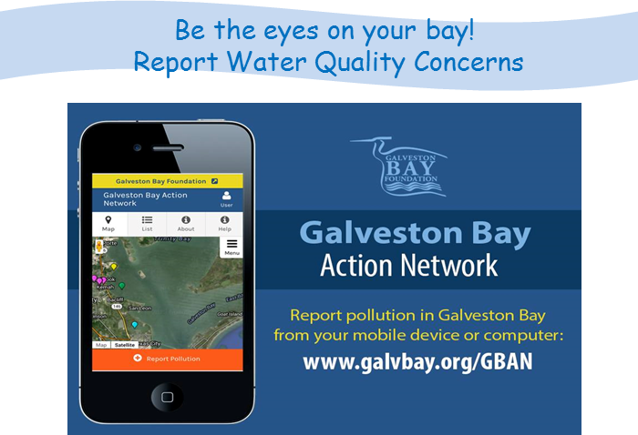
Water Quality Sampling Program
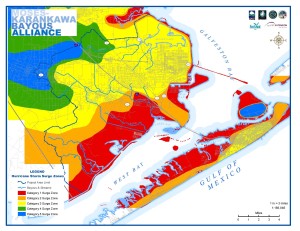
Hurricane Storm Surge Zones
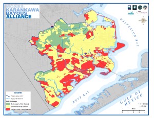
Soil Drainage
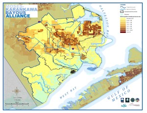
Population Density
Land Use/Land Cover